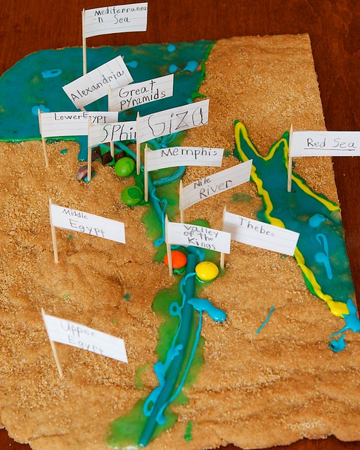
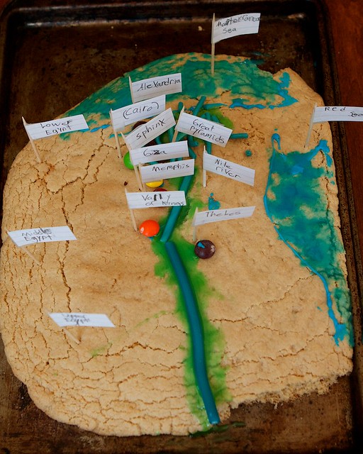
The green around the Nile River is to show that area which was fertile because of the Nile flooding every year.
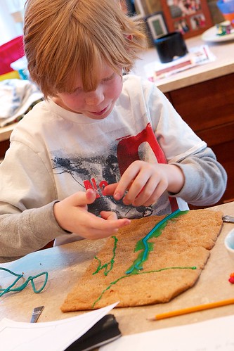
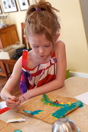
It looks like the Mediterranean and Red Sea over flowed their banks too!

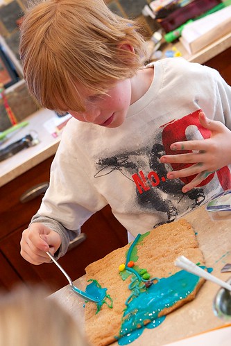
I don't know how much the little ones got out of the project, but they certainly had fun... and they enjoyed eating the cities and the Nile!

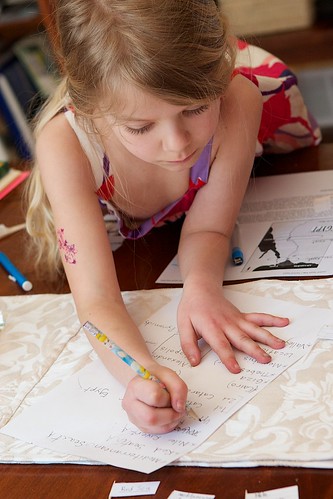
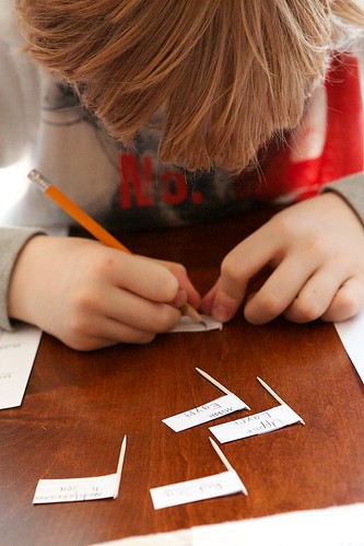
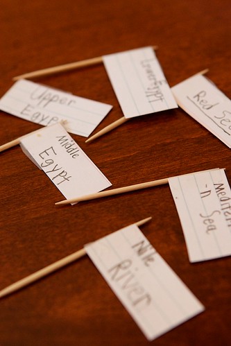
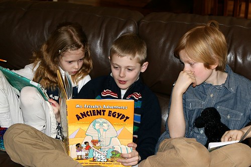
By the time the kids put the labels on their cookie maps, they didn't even need to look at the atlas or the other maps, they were able to put all of the cities where they belonged. I love hands on projects, they get so much out of them. One of the other things I like about this is that, unlike salt dough maps, (which we made of Canada) no one wants to save these for posterity! Make and learn, take pictures and eat! YEAH! And as they eat them the comments are things like, "Wow! The Mediterranean Sea is delicious!" or "I just ate Thebes!" Or even Dad and Mom asking, "Can I try a bite of the Red Sea?" They won't soon forget the landscape of Ancient Egypt. I've been told to point out that the reason Lower Egypt is North, and Upper Egypt is South is because the Nile River flows down to the Mediterranean Sea. The finished maps.

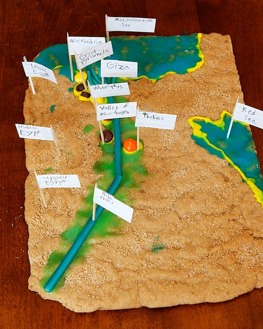
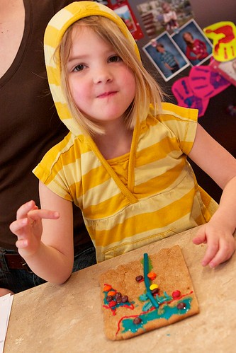
Unfortunately they've just found out that Ariana is allergic to wheat so she didn't get the yummy brown sugar cookie that everyone else did, but her map turned out quite neat showing all the bare, dry land.

Wait until you see what we're doing next week! It involves a dead chicken... any guesses?!